
Aerial photos show Saturday snow level below 1,500 feet

By Peter Weinberger
In aerial photos taken Saturday afternoon, looking north directly at Mt. Baldy covered in clouds, high above Baldy Road below, a light coating of snow turns deeper as the elevation increases. Baldy Village received close to three feet of snow, with higher elevations seeing more than six feet.
This view looking east shows a snow-covered Potato Mountain on the left and the valley on the right. Courier photo/Peter Weinberger
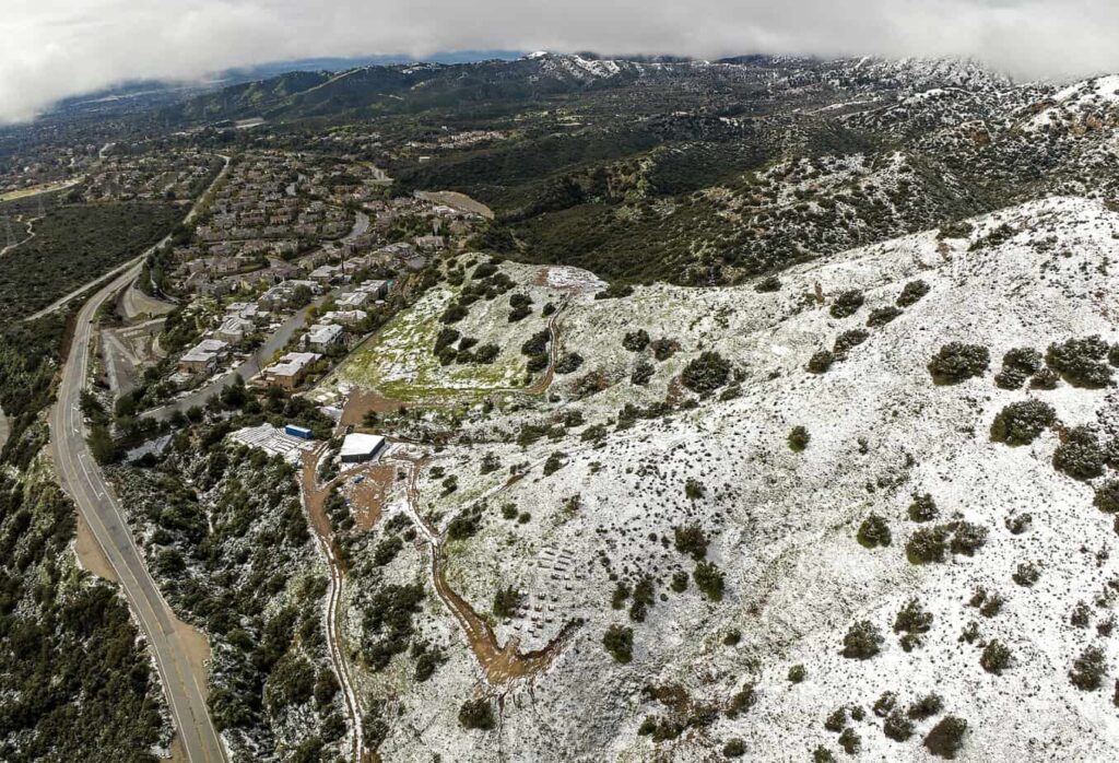
In 2019, Claremont experienced a surprise snowstorm in the afternoon dropping snow levels down to 2,500 feet. It wasn’t deep snow but enough to coat the foothills above the Wilderness Park. Saturday morning’s storm carried far more precipitation and cold weather, dropping snow in much of Claremont, with enough to stick north of Base Line Road. Just minutes after the snow began, curious Claremonters ventured outside to enjoy a real change of scenery. It was a special and exciting day especially for the youngsters.
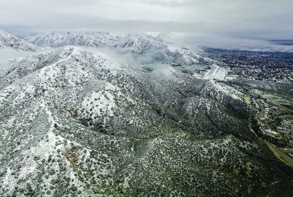
With Baldy Road on the left, snow was a common sight for homes in north Claremont. Courier photo/Peter Weinberger
More winter weather is on the way. After a mostly cloudy day Sunday, smaller storm systems will quickly speed across the skies through Wednesday. That includes dropping a wintry mix in the mountains above 4,000 feet, maybe lower.
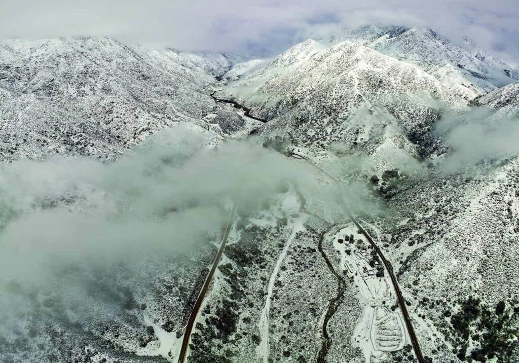
Looking north directly at Mt. Baldy covered in clouds on Saturday, high above Baldy Road below, a light coating of snow turns deeper as the elevation increases. Courier photo/Peter Weinberger
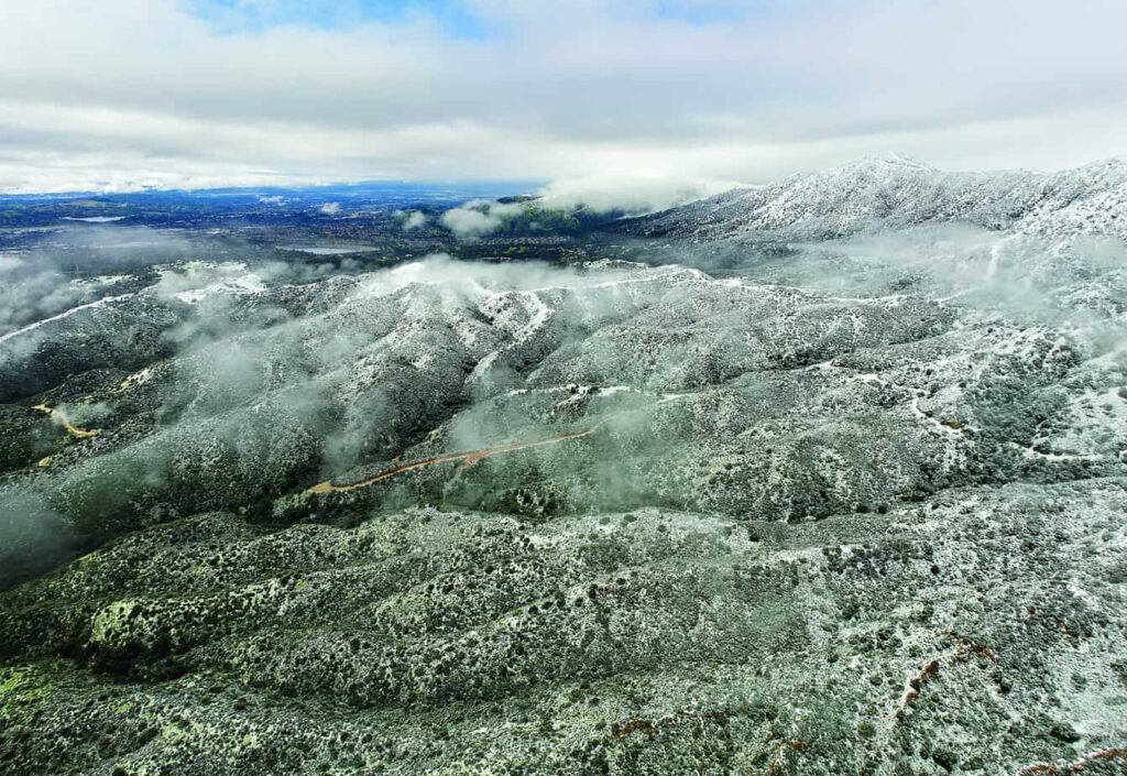
The Claremont Wilderness Park had a lighting coat of snow looking west. Courier photo/Peter Weinberger


0 Comments